Mapping & GIS Drone
Centimetre-accurate aerial intelligence.
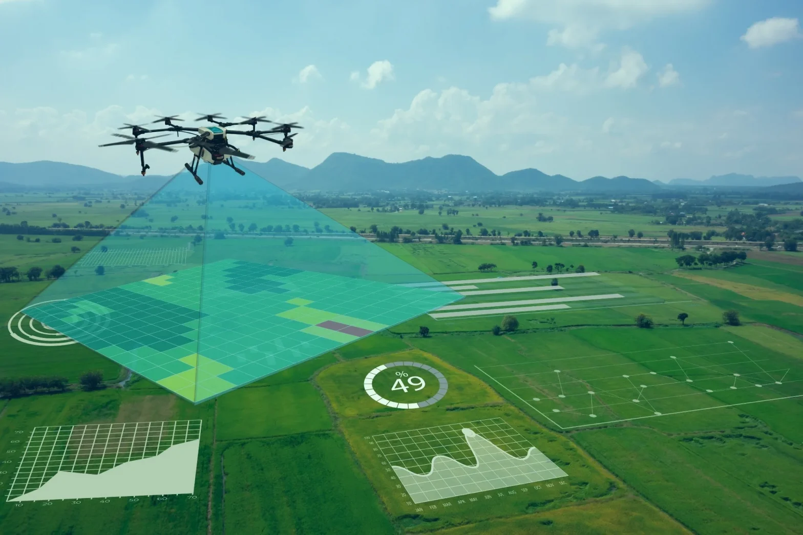
A photogrammetry and LiDAR-ready platform producing survey-grade orthomosaics, DEMs and 3D point clouds. Built to order for urban planning, mining and land projects that need real accuracy, not approximate maps.
Built For The Survey Grid.
- 42MP RGB camera with RTK/PPK for centimetre-level positioning
- LiDAR-ready payload bay for dense point cloud capture
- Automated grid and corridor mission planning
- Outputs compatible with standard orthomosaic & DEM processing pipelines
Ground Truth, From The Air
From city blueprints to open-pit mines, this platform is built for projects where an approximate map isn't good enough.
Topographic & Land Survey
Survey-grade orthomosaics and DEMs for urban planning, land parcels and infrastructure project tracking.
Mining & Infrastructure Mapping
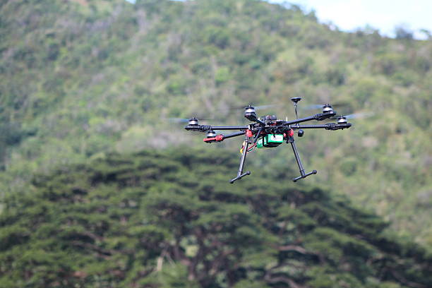
Volumetric stockpile measurement, pit progress tracking and corridor mapping for roads, rail and utilities.
Why We Build It This Way
A mapping drone is only as good as the accuracy it delivers — every build decision here is made to protect that number.
Assembled In India
Built and tested in-house at our Raniganj facility, not imported and rebadged.
Centimetre Accuracy
RTK/PPK positioning keeps every orthomosaic and DEM survey-grade, not just "close enough".
LiDAR Ready
Payload bay built to accept LiDAR for dense point clouds where photogrammetry alone isn't enough.
Serviced Locally
Support, spares and AMC handled directly by our own team — no long import wait for repairs.
Backed After The Sale, Not Just At It
1 Year Warranty
Every Mapping & GIS Drone ships with a 1 year manufacturer warranty covering:
- Manufacturing and workmanship defects
- Flight controller, gimbal and camera faults arising from normal use
- Airframe build-quality issues
1 Year AMC
We also offer a 1 year Annual Maintenance Contract (AMC) on request, covering:
- Scheduled inspection and calibration checks
- Firmware, camera and RTK/PPK calibration updates
- Priority turnaround on servicing
Please note: both the warranty and AMC cover manufacturing defects and routine servicing only. Liquid ingress and physical/crash damage are not covered under warranty or AMC and are chargeable separately.

Have An Idea Of Your Requirement?
Tell us your project area and accuracy needs, and we'll help you configure the right build. Please connect with us.
Let's Connect